
Free Europe Drawing Sheet | Year 4 | Geography | BookFlik
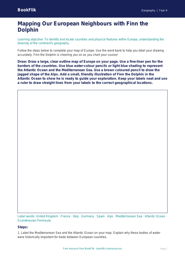
Engage your pupils with our comprehensive Geography europe drawing sheet year 4 greater depth resource. Designed specifically for Year 4 learners, this printable activity encourages children to explore the physical and political geography of the European continent through a creative lens. By blending artistic expression with core geographical skills, this resource helps students identify major countries, mountain ranges, and bodies of water while fostering a deeper connection to the world around them.
Our Geography europe drawing sheet year 4 greater depth is aligned with the Australian Curriculum (ACARA), specifically supporting the requirement for pupils to locate the world’s countries and concentrate on their environmental regions, key physical and human characteristics, and major cities. Instead of simple labelling, this sheet challenges students to illustrate specific topographical features, such as the Alps or the Mediterranean Sea, and annotate them with precise geographical vocabulary.
This resource is ideal for teachers looking to stretch their most capable pupils. The differentiation is built into the task structure; while core learners focus on identification, those working at greater depth are tasked with explaining the relationship between climate, terrain, and human settlement. Teachers can use this as a standalone lesson, an extension task for early finishers, or as part of a broader cross-curricular project involving art and history.
The Geography europe drawing sheet year 4 greater depth includes six challenging questions designed to provoke higher-order thinking. Students will be asked to justify why certain cities developed near specific river systems, compare the climate of Southern Europe to Northern Europe, and hypothesise what might happen to local economies if mountain passes were closed. These tasks require pupils to synthesise their knowledge rather than simply recalling facts. Encourage your class to think like geographers as they map, illustrate, and analyse the diverse landscape of Europe today.
Preview the worksheet
If the preview does not load, open the PDF in a new tab.