
Geography map skills poster class 4 core
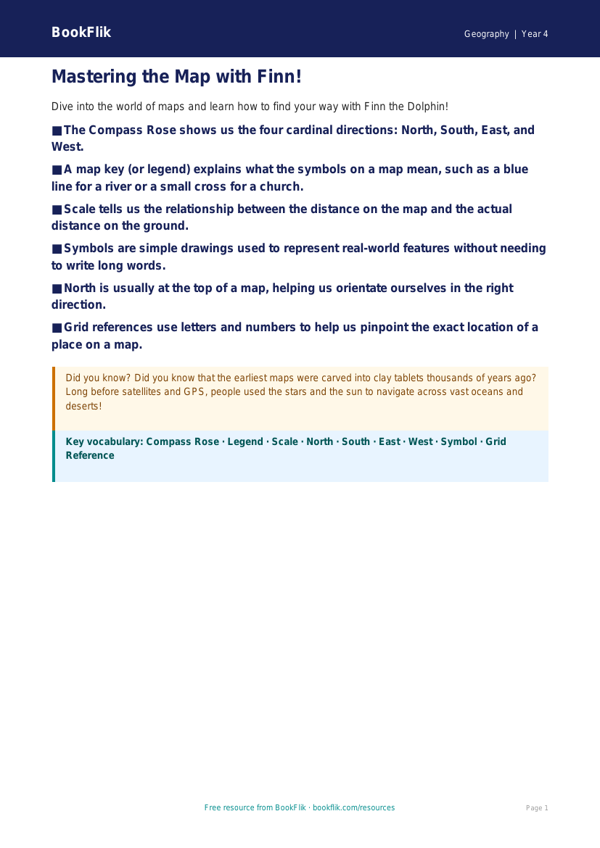
Enhance your classroom display with our comprehensive Geography map skills poster year 4 core, designed specifically to support children working at the expected standard in UK primary schools. This vibrant and educational resource simplifies complex geographical concepts, making them accessible and engaging for eight and nine year olds.
This Geography map skills poster year 4 core focuses on the essential elements of cartography. Children will learn how to identify and use the four main cardinal points of a compass (North, South, East, and West) to describe direction. The poster clearly explains how to interpret map symbols and keys, allowing students to decode a map with confidence. It also introduces the concept of scale, helping learners understand the relationship between distances on a map and real-world distances.
Teachers can use this resource as a permanent classroom anchor chart, a prompt during independent map-reading activities, or as a visual aid for whole-class teaching. It is an ideal companion for lessons involving local area mapping or studying the wider world. By providing a clear visual reference, it reduces cognitive load and encourages students to use correct geographical terminology in their writing and discussions.
Fully aligned with the CBSE / NCERT Curriculum for Key Stage 2, this Geography map skills poster year 4 core ensures that pupils meet the required learning objectives for location and direction. It is differentiated for the core level, meaning the vocabulary and layout are perfectly pitched for Class 4 students working at the expected standard.
Download this free resource today to help your students navigate their way through geography. Whether they are exploring the local neighbourhood or mapping distant lands, this poster provides the foundational knowledge they need to become confident young geographers.
Preview the worksheet
If the preview does not load, open the PDF in a new tab.