
Free Grid References Poster | Year 5 Greater Depth | BookFlik
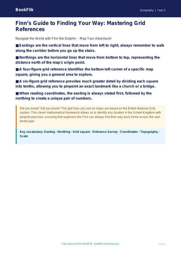
Master the art of map reading with our comprehensive Geography grid references poster year 5 greater depth resource. Designed specifically for Year 5 pupils, this vibrant educational tool simplifies complex cartographic concepts while pushing high-achieving learners to sharpen their spatial reasoning skills.
This resource features Finn the dolphin, our resident expert on oceans and world geography, who guides students through the intricacies of four-figure and six-figure grid references. By using this Geography grid references poster year 5 greater depth, pupils will develop the precision required to locate specific landmarks, environmental features, and coordinates on Ordnance Survey-style maps. Aligning perfectly with the UK National Curriculum requirement for pupils to use eight-figure compass points and grid references, this poster ensures children can confidently interpret and navigate topographical representations.
Teachers can utilise this resource in small-group guided sessions or as a visual anchor in the classroom to support independent inquiry. While the basics are clearly explained, the inclusion of a dedicated Greater Depth section ensures that gifted and talented learners remain challenged. The resource includes six thought-provoking questions, such as: Explain why six-figure grid references provide more accuracy than four-figure references; Compare and contrast the use of grid lines versus latitude and longitude; and Justify why a map reader must always identify the easting before the northing.
This Geography grid references poster year 5 greater depth is more than just a wall display; it is a scaffold for high-level geographical thinking. By encouraging students to evaluate map accuracy and predict the location of features, you can foster a deeper understanding of how we represent our world on paper. Download this essential classroom aid today to help your Year 5 cohort transition from basic map reading to advanced spatial analysis, ensuring they have the confidence to tackle any orienteering challenge with ease.
Preview the worksheet
If the preview does not load, open the PDF in a new tab.