
Free Grid References Template | Year 5 Greater Depth | BookFlik
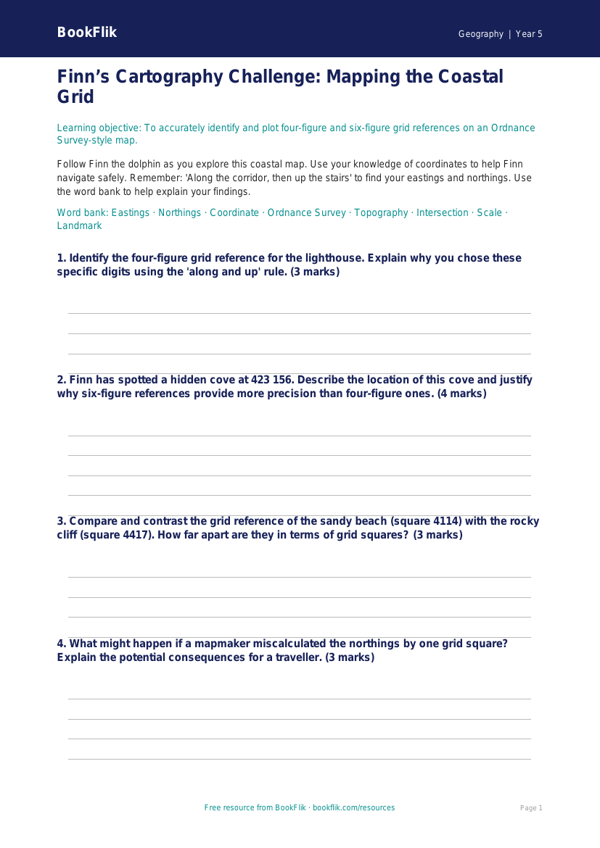
Boost your classroom geography lessons with our comprehensive Geography grid references template year 5 greater depth resource. Designed specifically for Year 5 pupils, this pack helps students master the complexities of four-figure and six-figure grid references. By using this Geography grid references template year 5 greater depth, learners will develop the spatial awareness required to navigate Ordnance Survey-style maps accurately, identifying specific locations and features with precision.
Our resource is fully aligned with the UK National Curriculum, which requires pupils to use eight points of a compass, four and six-figure grid references, symbols, and keys to build their knowledge of the United Kingdom and the wider world. This particular pack is tailored for higher-attaining students, offering a nuanced approach that pushes beyond basic coordinate identification. Teachers can use this Geography grid references template year 5 greater depth to support independent study, small group investigations, or as a challenging extension activity for those who have already mastered foundational mapping skills.
The pack includes a bespoke, detailed map featuring diverse landscapes, from dense woodland to bustling town centres. It challenges gifted and talented learners to perform complex tasks, such as calculating distances between grid squares and justifying the optimal route between two points based on terrain features.
Key activities include:
1. Identifying physical and human features using six-figure grid references.
2. Explaining why certain symbols are placed within specific grid squares.
3. Comparing the accuracy of four-figure versus six-figure references.
4. Justifying the selection of a route based on topographical data.
5. Predicting potential challenges for travellers based on map symbols.
6. A creative extension task to design a new map section using correct cartographic conventions.
Download this essential resource today to provide your Year 5 students with the rigorous, high-quality practice they need to excel in their geographical studies. Empower your learners to think like true cartographers.
Preview the worksheet
If the preview does not load, open the PDF in a new tab.