
Free Map Skills Poster | Year 5 Greater Depth | BookFlik
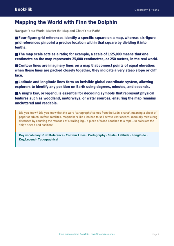
Boost your classroom walls with our comprehensive Geography map skills poster year 5 greater depth resource, designed specifically to challenge high-achieving pupils. This vibrant, educational tool moves beyond basic grid references and compass points, encouraging students to engage with complex cartographic concepts.
As pupils explore this Geography map skills poster year 5 greater depth, they will encounter advanced tasks involving six-figure grid references, contour lines, and the interpretation of thematic maps. By integrating the inquisitive spirit of Finn the dolphin, who maps the world’s oceans, this resource provides a structured yet stimulating approach to mastering spatial awareness. It aligns perfectly with the UK National Curriculum, specifically supporting the requirement for pupils to use maps, atlases, and globes to describe features studied.
Teachers can use this Geography map skills poster year 5 greater depth as a focal point for independent research stations or as a prompt for whole-class discussions. The poster includes six rigorous questions designed for gifted and talented learners, such as: Explain why contour lines are spaced differently on steep cliffs compared to gentle slopes; Compare and contrast the utility of a topographical map versus an aerial photograph; and Justify your answer when determining the most efficient route between two points on a map based on terrain elevation.
This resource is perfect for classrooms aiming to stretch students beyond the core requirements. It encourages pupils to think critically about how cartographers represent the three-dimensional world on a two-dimensional surface. With its focus on higher-order thinking, such as predicting how urban development might alter map symbols over time, this poster ensures that your most capable geographers remain engaged and challenged. Whether used for group problem-solving or as a springboard for individual creative projects, this poster is an essential addition to any Year 5 curriculum, providing the depth needed to foster true geographical mastery.
Preview the worksheet
If the preview does not load, open the PDF in a new tab.