
Free Polar Regions Drawing Sheet | EYFS Core | BookFlik
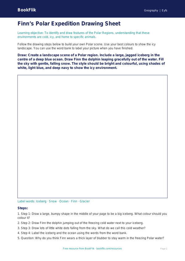
Explore the wonders of the frozen world with our interactive Geography polar regions drawing sheet eyfs core resource. Designed specifically for children aged 3 to 5, this activity invites pupils to step into the shoes of explorers as they learn about the chilly habitats at the very top and bottom of our planet.
Through this engaging Geography polar regions drawing sheet eyfs core, children will discover the unique characteristics of the Arctic and Antarctica. They will learn about the icy landscapes, identify creatures that thrive in extreme cold, and explore how these environments differ from their own. This resource is perfectly aligned with the UK National Curriculum for Early Years Foundation Stage, specifically supporting the Understanding the World: People, Culture and Communities area of learning.
Teachers can use this sheet as a creative plenary after sharing a story about Finn the dolphin’s travels or as a focused activity to develop fine motor skills and observational drawing. By using this Geography polar regions drawing sheet eyfs core, you provide a gentle introduction to global geography that encourages children to ask questions about the world around them.
The activity is set at the expected standard, ensuring that children are challenged to think about environmental details while remaining accessible. To support your lesson, we have included five questions to guide classroom discussion:
1. Can you draw a snowy home for an animal that likes the cold?
2. What colours would you use to show that a place is very icy?
3. How is the polar region different from the park near our school?
4. What kind of clothes would you need to wear to visit a place with lots of snow?
5. Can you spot the difference between the land in the Arctic and the sea in the Antarctic?
Download this free resource today to bring the beauty of the poles into your classroom.
Preview the worksheet
If the preview does not load, open the PDF in a new tab.