
Free Rivers Drawing Sheet | Year 5 Greater Depth | BookFlik
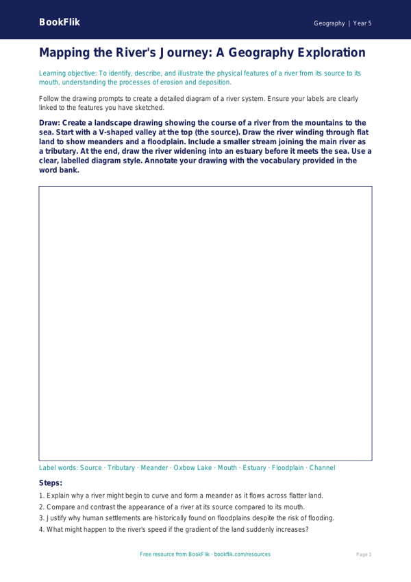
Elevate your classroom geography lessons with our Geography rivers drawing sheet year 5 greater depth resource. Designed specifically for ambitious learners, this activity moves beyond basic labelling to encourage critical thinking about fluvial processes. As students illustrate the journey of a river from its source to the mouth, they are tasked with identifying key features such as meanders, oxbow lakes, and deltas. This Geography rivers drawing sheet year 5 greater depth is perfect for teachers looking to bridge the gap between artistic expression and geographical enquiry, ensuring pupils grasp the physical processes of erosion and deposition.
Aligned with the UK National Curriculum, this resource supports the study of physical geography, specifically the water cycle and river systems. While standard worksheets focus on basic identification, this Geography rivers drawing sheet year 5 greater depth challenges students to annotate their work with technical vocabulary, justifying why certain landforms develop in specific stages of the river’s course. By visualising the landscape, children develop a profound spatial awareness of how water shapes our world.
This resource is ideal for independent study or small group work, allowing Year 5 learners to showcase their scientific understanding through detailed, annotated diagrams. Whether used as a formative assessment tool or a creative extension task, it provides the perfect opportunity for gifted and talented pupils to demonstrate their mastery of the topic.
Challenge questions included:
1. Explain why the velocity of a river typically increases as it reaches the lower course.
2. Compare and contrast the characteristics of a river at its source versus its mouth.
3. Justify why deposition is more prevalent in the lower course of a river.
4. What might happen if a river’s path was obstructed by a large boulder?
5. Analyse the impact of human intervention, such as building a dam, on a river’s natural flow.
6. Design a fictional river system and label the specific landforms created by erosion.
Preview the worksheet
If the preview does not load, open the PDF in a new tab.