
UK Regions Map for Kids | Pre-K Geography Lesson | BookFlik
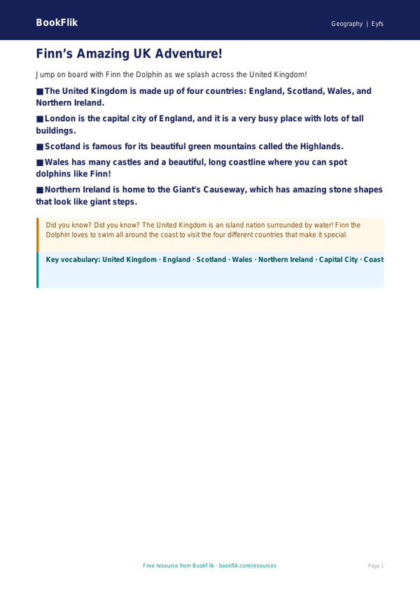
Bring the wonders of the United Kingdom to your classroom with our vibrant Geography uk regions poster eyfs core resource. Designed specifically for children aged 3-5, this visual aid introduces little learners to the diverse landscapes of England, Scotland, Wales, and Northern Ireland. By using this Geography uk regions poster eyfs core, teachers can help children develop a sense of place and begin to understand that we live in a country made up of different, beautiful areas.
This resource aligns perfectly with the Understanding the World area of the Pre-K statutory framework. It encourages children to talk about the features of their own immediate environment while comparing them to other regions across the UK. Whether you are discussing the rolling hills, the bustling cities, or the seaside, our Geography uk regions poster eyfs core provides a fantastic foundation for early geographical enquiry.
How to use this resource:
Display the poster in your reading corner or near your discovery table. Use it as a prompt for circle time discussions or as a base for small world play, encouraging children to map out their own journeys across the four nations.
Core Level Questions:
1. Can you point to the four different parts of the United Kingdom on the map?
2. Which part of the UK do we live in?
3. Can you see a mountain or a piece of water on the poster?
4. If you could travel to a different part of the UK, would you go to the coast or the countryside?
5. Which region on the poster has the most interesting color to you?
This resource is tailored for learners at the expected standard, offering clear labels and engaging illustrations to support early literacy and spatial awareness. Download this free, high-quality poster today to help your pupils explore the world around them with confidence and curiosity.
Preview the worksheet
If the preview does not load, open the PDF in a new tab.