
Free Grid References Assessment | Year 5 Greater Depth | BookFlik
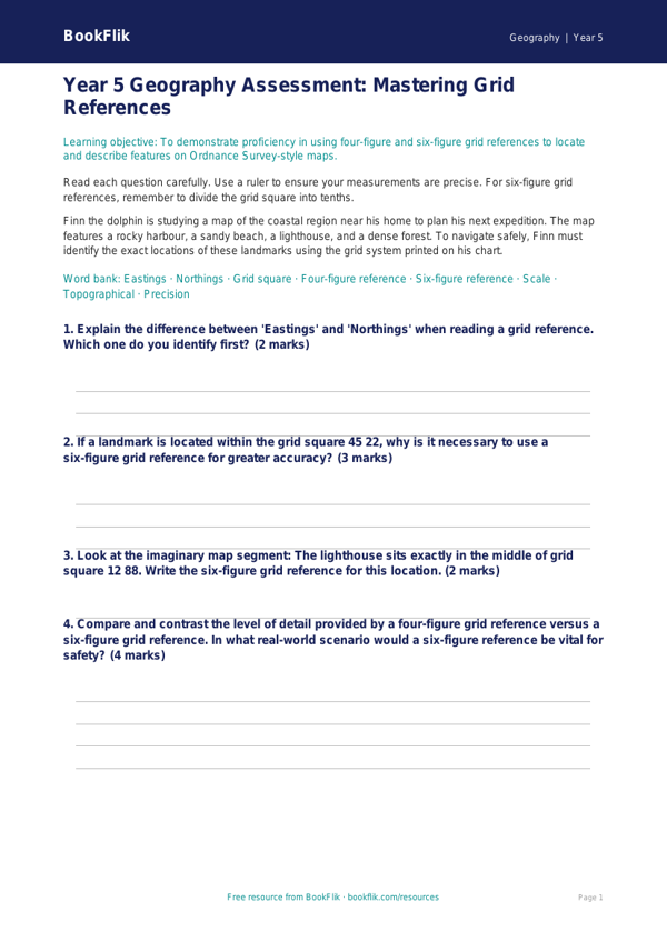
Mastering map skills is a vital milestone in the Key Stage 2 curriculum. Our premium Geography grid references assessment year 5 greater depth resource is specifically designed to challenge high-achieving pupils who have already grasped the basics of four-figure coordinates. This comprehensive pack moves beyond simple identification, encouraging learners to apply their spatial reasoning to complex scenarios involving six-figure grid references, scale, and topographical symbols.
In line with the UK National Curriculum, this Geography grid references assessment year 5 greater depth tool helps pupils develop their ability to use maps, atlases, and globes to describe features studied. By working alongside our original character Finn the dolphin, who uses his map-making skills to navigate the world’s oceans, children are guided through tasks that require them to locate precise points, calculate distances, and interpret map legends with advanced precision.
Teachers can utilise this resource as a formative diagnostic tool or as a summative challenge to stretch their most capable geographers. The content is meticulously structured to facilitate higher-order thinking, moving from basic retrieval to critical analysis. Pupils will be asked to justify their choice of route through varied terrain and explain the significance of specific grid squares in relation to human and physical geography.
This Geography grid references assessment year 5 greater depth set includes six to eight rigorous questions, including open-ended inquiries such as: “Explain why a six-figure reference provides more accuracy than a four-figure reference when planning a mountain expedition” and “What might happen if a map scale was misinterpreted during a navigation task?”
By integrating this resource into your classroom, you ensure that your gifted and talented learners remain engaged with sophisticated, thought-provoking tasks. Each activity is designed to cultivate a deep, nuanced understanding of cartography, ensuring that pupils are fully prepared for the demands of the upper Key Stage 2 curriculum and beyond.
Preview the worksheet
If the preview does not load, open the PDF in a new tab.