
Free Grid References Drawing Sheet | Year 5 Greater Depth | BookFlik
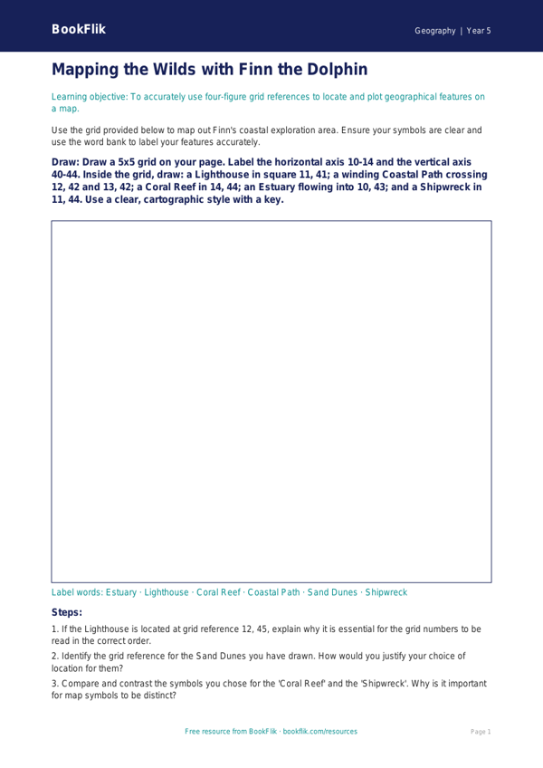
Mastering map skills is a vital part of the primary curriculum, and our Geography grid references drawing sheet year 5 greater depth resource is designed to stretch your most able learners. This engaging activity invites students to join Finn the dolphin on an expedition to map a fictional archipelago. By using this Geography grid references drawing sheet year 5 greater depth, pupils will move beyond basic coordinate identification to apply complex spatial reasoning and cartographic precision.
Aligned with the UK National Curriculum for Key Stage 2, this resource focuses on using four-figure and six-figure grid references to describe locations and features on an Ordnance Survey-style map. Teachers can use this as a standalone challenge or as a formative assessment tool to gauge how well pupils interpret scale, symbols, and legends. The activity encourages children to draw specific geographical features—such as mountainous regions, river meanders, and human settlements—at precise coordinates, reinforcing their understanding of how maps represent the physical world.
Designed specifically for those exceeding age-related expectations, this Geography grid references drawing sheet year 5 greater depth resource includes tasks that require higher-order thinking. Rather than simply locating points, students must justify their choice of land-use symbols, compare the topography of different grid squares, and explain the impact of environmental changes on their map.
The resource includes 8 challenging tasks:
1. Explain why a six-figure reference is more accurate than a four-figure reference.
2. Justify your decision to place a forest in a specific grid square based on physical geography.
3. Compare the terrain of two different squares and describe the potential challenges for a traveller.
4. What might happen if the sea level rose by ten metres? Draw the impact on your map.
5. Create a complex key for your map including at least ten distinct symbols.
6. Design a route for an explorer and write a paragraph using grid references to describe the journey.
7. Critique a partner’s map for accuracy.
8. Propose a new settlement location and justify it using economic factors.
Preview the worksheet
If the preview does not load, open the PDF in a new tab.